

We conduct urgent research into climate, air quality and ecosystem impact. Earth’s climate is changing because of manmade greenhouse gas emissions. Carbon dioxide and methane are the two main contributors to the enhanced greenhouse effect. Aerosols cool the Earth by scattering and through cloud formation, but it is uncertain by how much. Global warming can trigger tipping points in the Earth’s ecosystem; we study for example permafrost thaw, wildfires and climate-cloud relations.
Earth
-
Methane

-
CO2
-
Carbon monoxide
-
Aerosols and Clouds
-
About Earth Observation

-
Projects
-
Data & Instruments
SRON Earth Programme
SRON’s Earth Observation program contributes to research on climate, air quality and its consequences for biodiversity by working on the entire chain of space missions. We develop key detector technologies, design and realize instruments in collaboration with partners, and develop analysis tools and models to make the data applicable to users.
Key expertise in atmospheric composition
The Earth Observation program at SRON monitors the atmospheric composition. This expertise was developed over the past decades in a Dutch ecosystem of universities, knowledge institutes, and industrial partners. The Netherlands is world-leading with a series of instruments such as TROPOMI on ESA’s Sentinel-5p satellite and SPEXone on NASA’s PACE satellite.
The UN climate panel warns that our warming climate, caused by human-made emissions, puts the global ecosystem at risk. Several climate tipping points could be triggered this century, leading to large and irreversible changes to the climate system, including consequences for biodiversity and air quality.
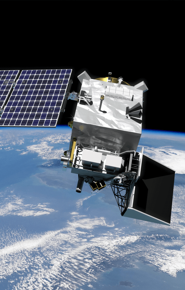
To solve these problems, scientists, governments, and international bodies increasingly rely on earth observation data. Satellites provide global and intercomparable information that can be available within hours after observation, for example shortly after a pipeline leak.
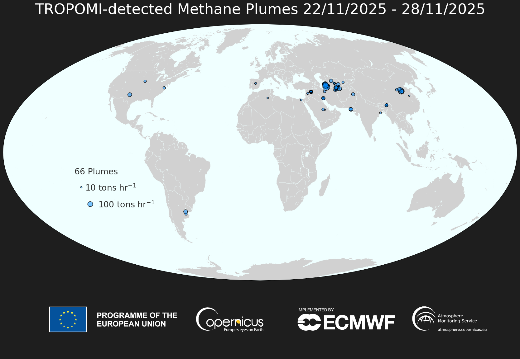
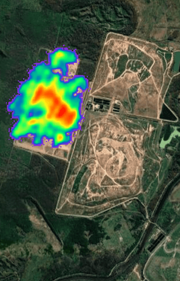
SRON scientists use satellites amongst others to spot large methane plumes from individual sources, such as landfills, coal mines and oil and gas fields.
For the United Nations’ Methane Alert and Response System (MARS), together with our partners we have designed a global system that detects methane plumes. This provides actionable information to reduce emissions of this strong greenhouse gas.
SRON's Earth Experts
-
 Read more
Aaldert van Amerongen
Dr., Head of the Earth Observation Programme
Satellite data for the global atmosphere
The Earth’s climate is changing because of man-made greenhouse gas emissions. Carbon dioxide and methane are the two main contributors to this enhanced greenhouse effect. Where are those gases emitted? Where do they go from there? How will these processes of emission and absorption be influenced in a changing climate? What is the role of various types of aerosols? Here you find maps with satellite data and software packages to help answer these questions.