



 Back to the story of SRON

TROPOMI discovers global methane leaks daily
2017
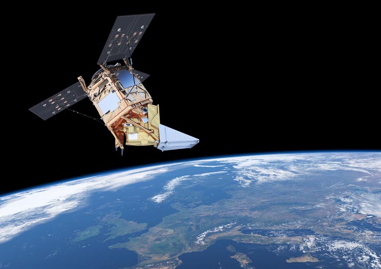
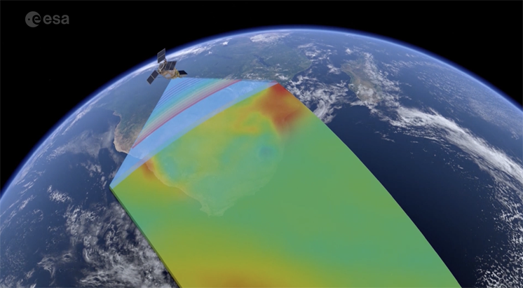
Until 2017, methane leaks went undetected unless a satellite happened to fly directly over them. The launch of ESA’s Sentinel-5p, carrying the Dutch instrument TROPOMI, heralded a new era in which every part of the Earth was scanned at least once a day for methane in the air above it.
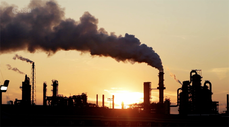
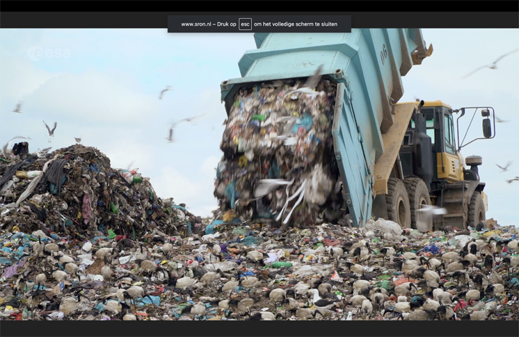
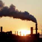
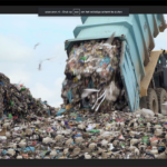
From 2023 onwards, SRON will publish a weekly world map showing dozens of large methane plumes. Through partnerships with the United Nations and the European Commission, the sources – such as coal mines, landfill sites and oil and gas installations – are informed through diplomatic channels.
These often involve gas leaks of around one hundred tonnes of methane per hour. A single such leak has a climate impact equivalent to that of all road traffic in the Netherlands.
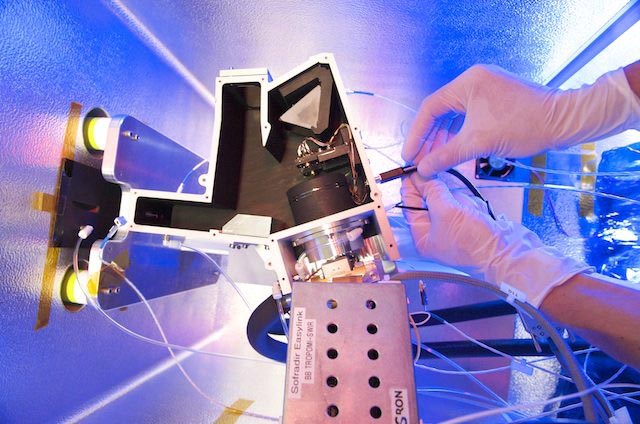
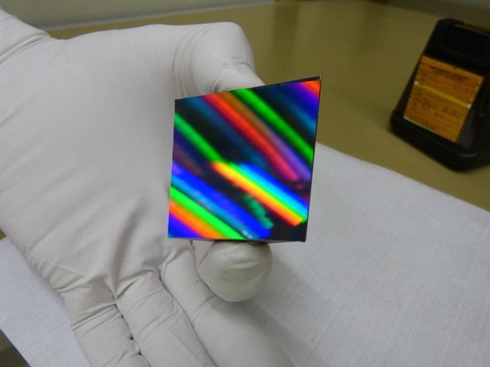
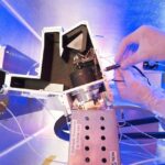
- The Sentinel-5p satellite carries and operates the Dutch TROPOMI instrument in its orbit; Sentinel-5p measures methane hotspots daily across the entire globe; such as those from oil and gas extraction facilities or landfill sites; the methane instrument developed by SRON and its partners was able to be made compact; this was achieved through new optics, the immersed grating.
- Want to find out more? See how the weekly methane measurements are monitored using a Methane Alert and Response System.