


| Status | Legacy |
| Launch | 1995 |
| Space organisation | ESA |
| Type | GOME: Ultraviolet / Visible (240 – 790 nm) |
| Orbit | Polar earth orbit (800 km) |
| SRON contribution to | GOME |
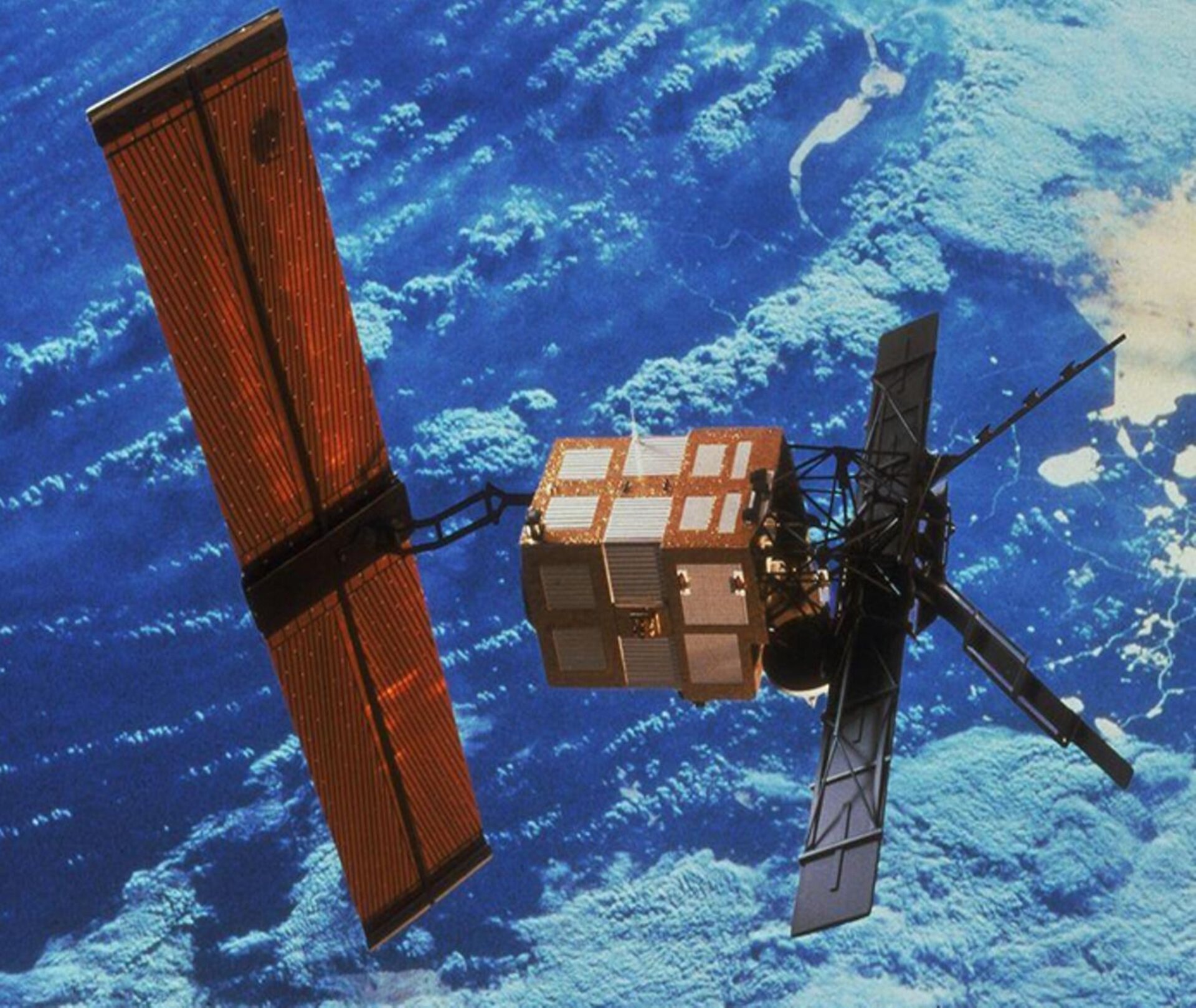
ESA’s ERS-2 mission orbited the Earth for sixteen years. For years, it provided weekly, global maps of the ozone distribution and visualized the size and evolution of the ozone hole over Antarctica. The GOME instrument delivered global maps of nitrogen dioxide and sulphur dioxide in the lowest atmospheric layer — the troposphere. This provided the first global overview of the extent to which humans are polluting the air. By measuring global sea surface temperatures, sea-level rise, and the melting of the polar ice caps, ERS-2 provided data for climate science.
ERS-2 was equipped with radar instruments, spectrometers, and radiometers. The radar instruments performed altimetry measurements of the land surface, oceans, and ice caps. The spectrometers analysed the chemical composition of the atmosphere, and the radiometers read ocean temperatures via infrared radiation.
One of the spectrometers was the Global Ozone Monitoring Experiment (GOME) instrument. SRON mapped and corrected the polarization sensitivity of GOME and its impact on the ozone profile results. The Polarization Measurement Devices (PMDs) turned out to have a spectral resolution that was too coarse to adequately determine the polarization state of the sunlight reflected by the Earth. This resulted in significant errors in the interpretation of the ozone spectra.
SRON developed a radiative transfer model that takes into account the polarization properties of the reflected sunlight. This allowed them to bypass the overly coarse results from the PMDs. The researchers also conducted measurements with a ground model of GOME on the roof of the former SRON facility in Utrecht. Later, this radiative transfer model was further developed into a tool for determining trace gas concentrations with the TROPOMI and Sentinel-5 space instruments.