



 Back to the story of SRON
Rockets in Suriname
1965
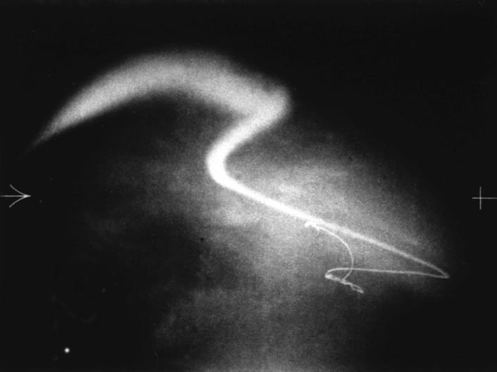
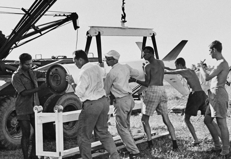
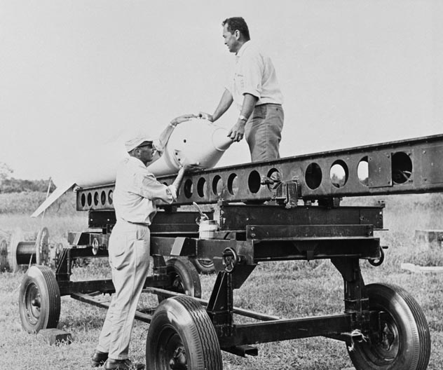
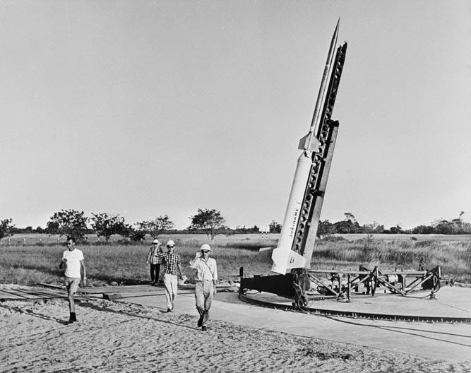
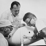
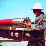
In Suriname, in September 1965, the Space Research Laboratory in Utrecht, Royal Dutch Meteorology Institute KNMI, and NASA launched rockets on four occasions, all of which left a clearly visible trail behind them at dusk. Sodium salt, from a small sodium furnace in the nose cone of NASA’s Nike-Apache rockets.
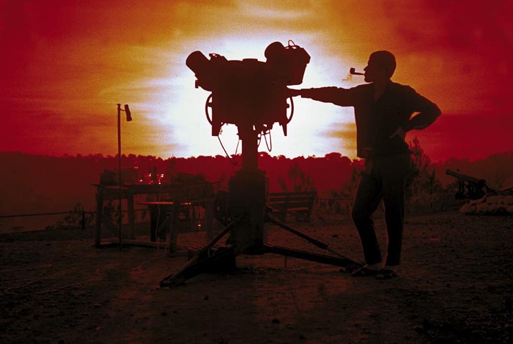
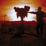
The rockets were launched to an altitude of 70 to 180 kilometres, creating large pink clouds. At several carefully chosen and precisely measured positions around the launch strip in Coronie, camera shutters were triggered at exactly the same time at regular intervals to record the movement and distortion of this trail from all angles at the same moments.
Using the photographs, it was possible to calculate not only the wind direction but also variations in temperature, pressure and density at altitudes on the equator that had not before been measured.
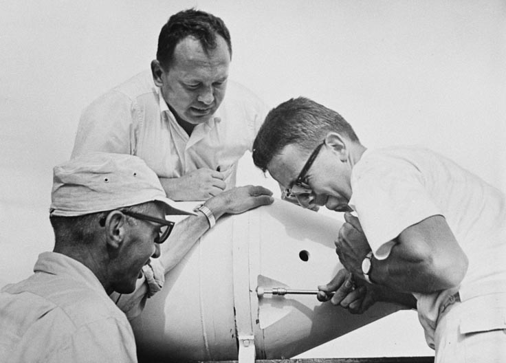
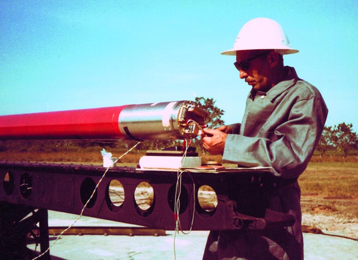
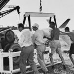
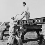
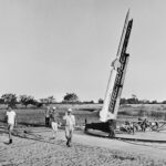
- Photos: The sodium trail, rocket preparations, taking photos at dusk